


Find nearby facilities


Welcome to Mappls!

Mappls App Quick Links
-
Find Nearby
Instant results on the map for anything you need

-
Post on Map
Post about anything road conditions and review places

-
Add a Business
Add your business on Mappls for easy access!

-
Get Mappls Pin
Your unique 6-character digital address!

-
Add a Place
Is our map missing a place? Let us know here!

-
Fix Map
Point out map errors or missing information

-
GPS Gadgets
Keep your vehicle safe with our range of products

-
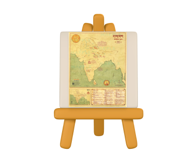
Map Art Gallery
Beautiful map-based art to enrich your surroundings

-
Government Boys Senior Secondary School, Pandara Road
Pandara Road, Pandara Park, New Delhi, Delhi, 110003
2.1 Kms -
Moolchand Khairati Ram Hospital
4.0Lajpat Nagar 3, Near Moolchand Metro Station, New Delhi, Delhi, 110024
2.2 Kms -
Safdarjung Hospital
4.0Near AIIMS Metro Station, Safdarjung Campus, Ansari Nagar West, New Delhi, Delhi, 110029
3.9 Kms -
Government Senior Secondary School Jogabai
CV Raman Marg, New Friends Colony, New Delhi, Delhi, 110025
4.2 Kms -
Chandra Shekher Azad Government Boys Senior Secondary School, New Friends Colony
Jamia Nagar, Friends Colony, New Delhi, Delhi, 110025
4.3 Kms -
National Disaster Management Authority
Ground to 4th Floor, NDMA Bhawan, A1 Block, Safdarjung Enclave, New Delhi, Delhi, 110029
4.4 Kms -
Holy Family Hospital
4.0Near Escorts Hospital, Maulana Mohammed Ali Road, Sarai Jullena, Okhla Road, New Friends Colony, New Delhi, Delhi, 110025
4.6 Kms -
Government Sarvodaya Boys Senior Secondary School, Rouse Avenue
No 23, Deen Dayal Upadhaya Marg, Barakhamba, Mata Sundri Road, New Delhi, Delhi, 110002
5.2 Kms -
Maulana Azad Institute of Dental Sciences, New Delhi
4.0Maulana Azad Medical College Campus, Mirdard Marg, Bahadur Shah Zafar Marg, New Delhi, Delhi, 110002
5.6 Kms -
Guru Nanak Eye Centre
Maharaja Ranjit Singh Marg, 64 Khamba, Opposite Ranjit Hotel, Ajmere Gate, Rouse Avenue, New Delhi, Delhi, 110002
5.7 Kms